

IlluminatingThe Future
Two strategic concessions in the Hashemite Kingdom of Jordan, investigated with next-generation airborne, seismic and subsurface technology — and read with the discipline that turns acquired data into a drilling decision.
- Licensed Area
- 16,164.41 km²
- Active Blocks
- West Safawi · Sirhan
- Operated By
- HINCO Group
- Established
- 2025 · Amman, Jordan
Unlocking Potential Across Terrains and Strata
ENARA is a Jordanian upstream oil and gas company investigating large areas and blocks of potential natural resource reserves with accuracy, clarity and adaptability to complex terrains and conditions.
We combine international expertise with cutting-edge exploration technology, and we run our programmes on a deliberately fast track — agile, efficient and tightly scheduled — so that the time, the resources and the cost of finding out what lies beneath a block are all held down together rather than one at the expense of the others.
The work sits inside the HINCO Group, a Jordanian holding company with decades of operating experience across industry, energy and infrastructure. That gives the exploration programme strategic direction, financial backing and corporate support without dictating its technical method.
- Focus
- Upstream Oil & Gas
- Assets
- Two Strategic Blocks
- Holding Company
- HINCO Group
Across Oceans, Terrains, and Strata
To unlock potential through next-generation technologies — wherever the ground is difficult, the terrain is hostile, or the answer lies deeper than the tools of the last decade could reach.
Pioneer State-of-the-Art Exploration Solutions
To empower the energy and mining sectors to overcome geological challenges through prompt, accurate data collection and analysis — reducing both the uncertainty of exploration and the cost of being wrong.
Using Leading Geophysical Survey Technologies
Two acquisition methods, each chosen for the terrain it has to cross and the depth it has to resolve — matched to a single interpretation.

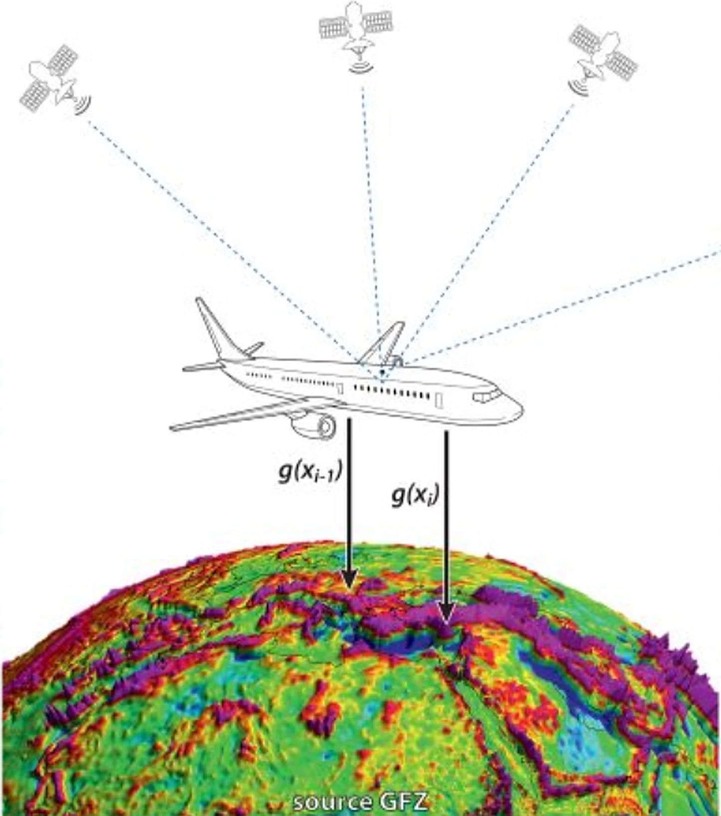
Airborne Magnetic and Gravity Surveys
Multirotor UAVs fly low and slow over ground that a crew cannot cross, carrying magnetometer and gravity gradiometer sensors on a pod suspended below the airframe rather than built into it. Flying the sensor clear of the aircraft's own magnetic and inertial signature is what makes the reading worth having at all.
The result is a continuous picture of basement depth, basin architecture and structure across a whole block in a fraction of the time a ground crew would need — and it is flown first, before anything more expensive is committed to the ground.
- Platform
- Multirotor UAV
- Payload
- Magnetometer + gravity gradiometer
- Sensor mounting
- Suspended pod
- Coverage
- Block-wide, low altitude
- Deliverable
- Depth-to-basement & structural grid
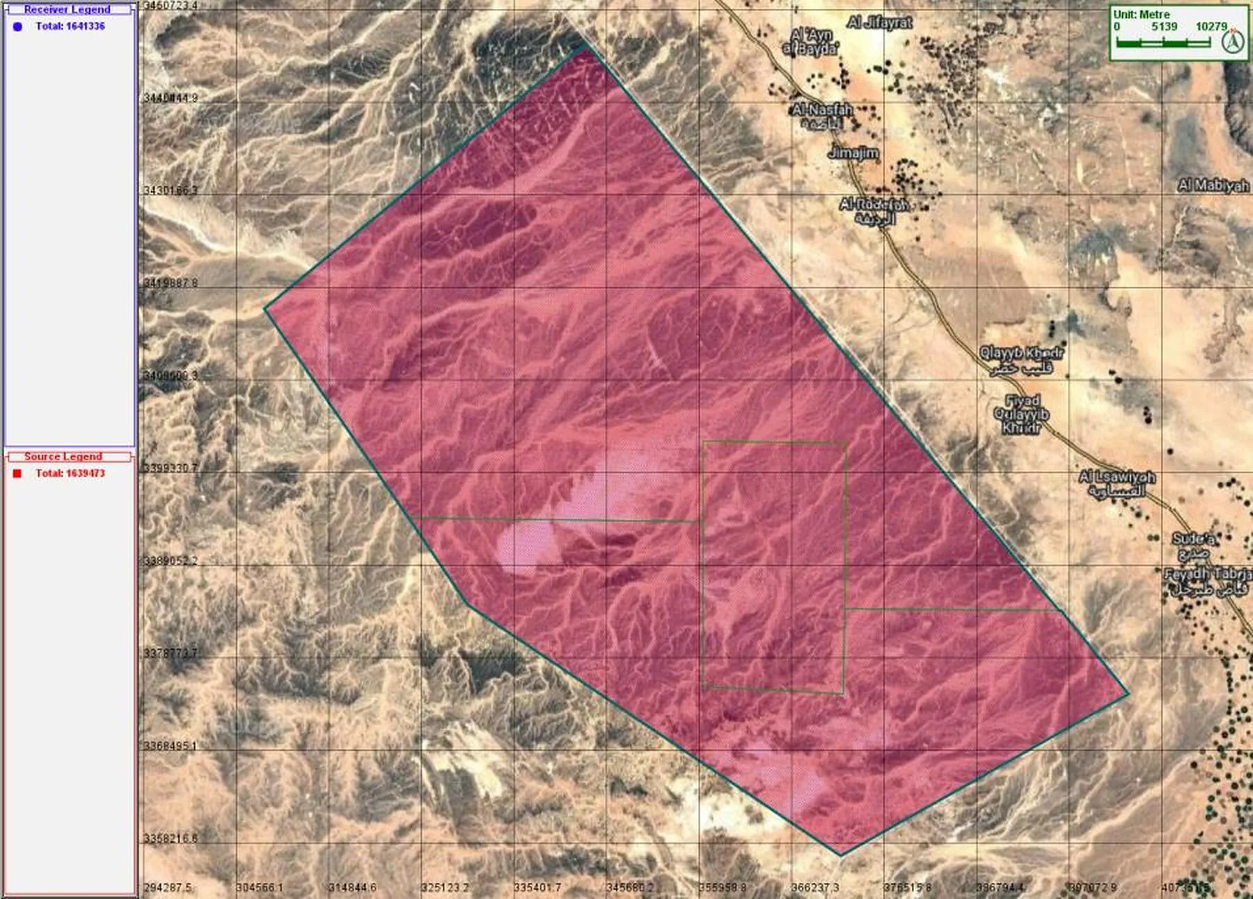
Broadband Seismic Acquisition
Ground acquisition uses vibroseis sources and nodal receivers laid on an orthogonal grid, with broadband sweeps recorded at long offsets and low frequencies. Taking the cable out of the receiver spread makes it faster to lay and easier to hold inside the survey's positional tolerance on broken basalt.
Low-frequency bandwidth is what lets the section resolve beneath the basalt flows that mask so much of eastern Jordan. It is the difference between a stack that hints at structure and one that can actually be interpreted.
- Survey type
- Orthogonal 3D
- Source
- Vibroseis, broadband sweep
- Receiver
- Autonomous nodal
- Recording
- Long offset, low frequency
- Deliverable
- Migrated 3D volume
Nodal Deployment and Field Support
Nodes are planted on a surveyed grid, checked by hand-held recording units, and retrieved once the spread is complete. Every node is quality-controlled in the field before the crew moves on — a receiver that failed quietly is worse than one that failed loudly.

Two Strategic Blocks in the Hashemite Kingdom of Jordan
Together the two concessions cover 16,164.41 km² of the kingdom's eastern hydrocarbon provinces.
- Licensed area
- 16,164.41 km²
- Concessions
- 2
- Largest block
- Sirhan — 8,640.10 km²
- Target
- Conventional oil & gas
- Province
- Eastern Jordan
Oil & gas blocks in Jordan, after the block chart published by the Ministry of Energy and Mineral Resources, Petroleum and Oil Shale Directorate. Every block is muted except ENARA's two concessions. National outline derived from geoBoundaries (CC BY 4.0).
Sirhan Block
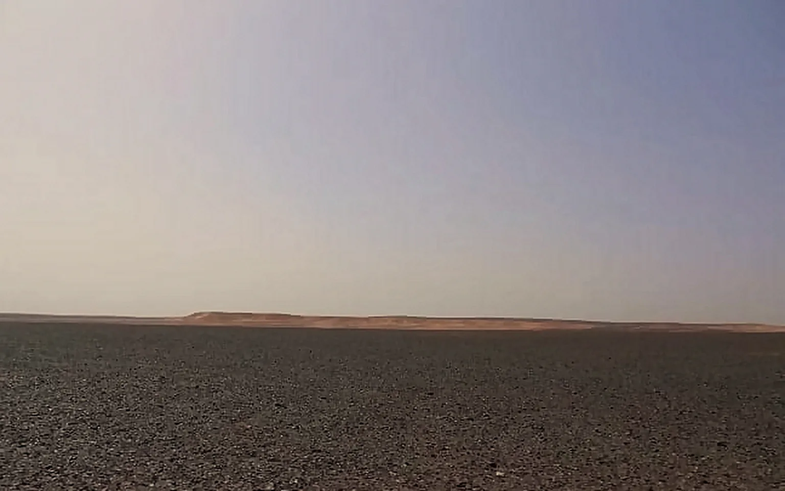
Sirhan covers the basalt country of east-central Jordan, where volcanic flows at surface have historically made both acquisition and imaging difficult. It is the larger of the two concessions and the one the technology platform was built around: broadband low-frequency seismic is the method that gets a usable section underneath the flows.
- Survey type
- Orthogonal 3D
- Terrain
- Basalt plateau & hamada
- Primary target
- Sub-basalt structure
- Imaging challenge
- Volcanic flow masking
West Safawi Block
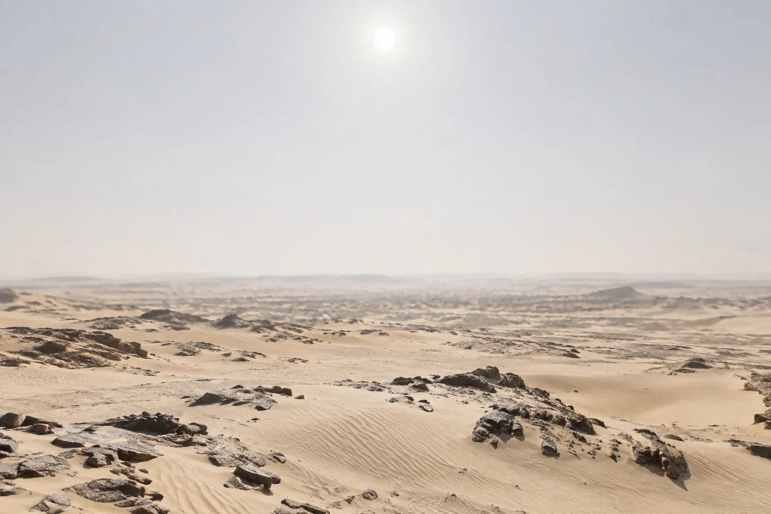
West Safawi extends across north-eastern Jordan, adjacent to the East Safawi block and the North Highlands. The survey follows the same orthogonal broadband acquisition philosophy developed for Sirhan, adapted to this block's terrain and target depths — with the airborne programme flown first to define where the ground effort should be concentrated.
- Survey type
- Orthogonal 3D
- Terrain
- North-eastern highlands
- Adjacent blocks
- East Safawi · North Highlands
- Programme
- Adapted from Sirhan
The Interpreted Volume
The volume is read as a continuous three-dimensional body rather than as a set of intersecting lines, so a prospect's geometry can be followed in every direction before a well is ever sited.
Stratal surfaces and fault planes are mapped across the survey, allowing structural closures to be tested against the likely presence of reservoir and leads to be ranked by confidence.
- Input
- Migrated 3D volume
- Domain
- Time & depth
- Outputs
- Horizons, faults, closures
- Ranking
- Lead & prospect inventory
- Purpose
- Well location & risk statement

Interpretation is done by people, not by software
Every horizon and every fault on this volume has been picked and argued over by a geoscientist who has to defend the pick. Automated tracking is a tool we use and do not trust with the conclusion.
Reading the two together — structure and stratigraphy — lets a closure be tested against the likely presence of reservoir, leads to be ranked by confidence, and the risk that remains to be stated plainly rather than implied.
Sirhan and West Safawi, Acquired as One Campaign
One acquisition philosophy, run across both blocks, so the two datasets can be interpreted against each other.
The programme is sequenced so that the cheapest survey answers the largest question first. Airborne magnetics and gravity are flown across the block to establish basement depth and regional structure; only then is the seismic spread laid, and only where the airborne data says it is worth laying.
Field operations are run from a forward support base inside the working area, with equipment, fuel and spares staged ahead of the crew so that a day lost to a broken receiver or a blocked track does not become a week. Node deployment, source sweeps and retrieval are quality-controlled in the field rather than after the fact.
- Phase 01Airborne magnetics & gravity across the block
- Phase 02Line clearing, surveying & permit access
- Phase 03Vibroseis source & nodal acquisition
- Phase 04Processing, volume interpretation & ranking
- 16,164.41 km²
- Under investigation
- 2
- Blocks in one campaign
- 4
- Sequenced phases
- 1
- Acquisition philosophy
Commercial Structure and Partnerships
An exploration programme carried by a group that already operates in Jordan's energy sector.

ENARA holds two exploration concessions in eastern Jordan and operates both directly, rather than handing the programme to a third party. Holding the licence, the equipment and the interpretation in one organisation is what makes the fast track possible: a decision taken on Monday can be an acquisition crew in the field the following week.
The group's existing position in Jordanian energy matters commercially as well as technically. HINCO companies have signed gas supply and distribution agreements from the Risha field in the same eastern province, and MEMCO — the group's exploration and mining arm — already operates long-range UAV, LIDAR, induced polarisation and electromagnetic survey capability alongside testing laboratories. ENARA draws on that infrastructure rather than duplicating it.
- Licence
- Exploration concession
- Operator
- ENARA G&G
- Holding company
- HINCO Group
- Structure
- Two concessions, 16,164.41 km²
- Jurisdiction
- Hashemite Kingdom of Jordan
Farm-in and Co-venture
Participation in one or both blocks, at the working-interest level, on terms agreed against a defined work programme rather than a headline number.
Service and Equipment Partnership
Acquisition capacity, processing and specialist interpretation — particularly for sub-basalt imaging, where the regional demand exceeds what any single operator can carry alone.
Institutional and Financial
Longer-horizon participation alongside a group with a thirty-year operating record in the kingdom and a portfolio that already spans energy, industry and infrastructure.
Exploration Services Beyond Our Own Blocks
The same acquisition and interpretation capability ENARA runs on its own concessions is available to other operators in the region.
Jordan and its neighbours hold a great deal of ground that has never been surveyed properly, largely because the terrain is unforgiving and the conventional acquisition cost is hard to justify against an unproven block. That is exactly the problem the method here was designed around: prove the geology cheaply from the air, then spend on the ground only where the airborne data justifies it.
ENARA offers that sequence as a service — survey design, acquisition supervision, processing, and the interpretation that turns a volume into a ranked set of leads with the risk stated honestly alongside them.
Geophysical Acquisition
Airborne magnetic and gravity surveys, land seismic and nodal acquisition — designed, permitted and supervised end to end, including in terrain where ground access is the binding constraint.
Seismic Processing & Imaging
Broadband processing with a specific focus on sub-basalt and sub-volcanic imaging, where standard flows leave the target obscured and the interpretation has nothing solid to stand on.
Subsurface Interpretation
Volume interpretation, horizon and fault mapping, structural closure analysis, and a lead and prospect inventory ranked by confidence rather than by optimism.
Technical Due Diligence
Independent review of exploration assets and datasets for investors and institutions — what the data actually supports, and what the current interpretation is quietly assuming.

How We Work in the Field
A programme that moves quickly is only worth having if it does not leave anything damaged behind it.
Jordan's eastern desert is not empty. It carries Bedouin grazing routes, archaeological sites, military training areas and infrastructure belonging to other operators, and an exploration crew that does not account for all four will lose more days to access disputes than it ever loses to weather. Access is negotiated line by line, with the local authorities and with the communities the routes cross.
The environmental footprint of the method is deliberately small. Nodal receivers leave no cable behind, vibroseis sources run on existing graded tracks wherever the terrain allows, and every node, flag and cable the crew lays is inventoried and recovered before demobilisation.
Safety
Field operations run to a permit-to-work system, with daily briefings, journey management across long desert transits, and a stop-work authority that any member of the crew can exercise without needing to justify it upward.
Land & Access
Route agreements negotiated with authorities and local communities before the crew arrives, with grazing and water access left undisturbed and archaeological sites located and avoided at the line-planning stage.
Environment
No-cable nodal acquisition, existing-track access, contained fuel storage and full retrieval of every deployed item. The desert is left in the state the crew found it, and the inventory is signed off to prove it.
Every deployed item is inventoried, and the desert is left as the crew found it.
Advancing Jordan's Upstream Energy Future
Backed by a Jordanian holding company with a thirty-year operating record in the kingdom.
HINCO Group
HINCO Group — Harmony Investment Company. Amman, Hashemite Kingdom of Jordan.
ENARA is part of Harmony Investment Company (HINCO) Group, a Jordanian holding company that has built and operated businesses across construction, industrial production, chemicals, agriculture, hospitality and energy. Its portfolio runs from National Chlorine Industries to Jordan LNG, and its exploration and mining arm MEMCO already fields UAV, LIDAR, induced polarisation and electromagnetic survey capability with its own testing laboratories.
For the exploration programme that means three things: the capital to fund a multi-year acquisition campaign without stopping at the first dry hole, an operating infrastructure in Jordan that already exists and is already permitted, and a group-level technical bench that the block teams can draw on directly.
- Strategic Direction
- Financial Backing
- Corporate Support
We welcome approaches from operators, service companies and institutional partners on either of the two concessions — and on survey work for other blocks in the region.